U.S. Drought Monitor – Update
Drought Summary Report - Maps Released June 30, 2026
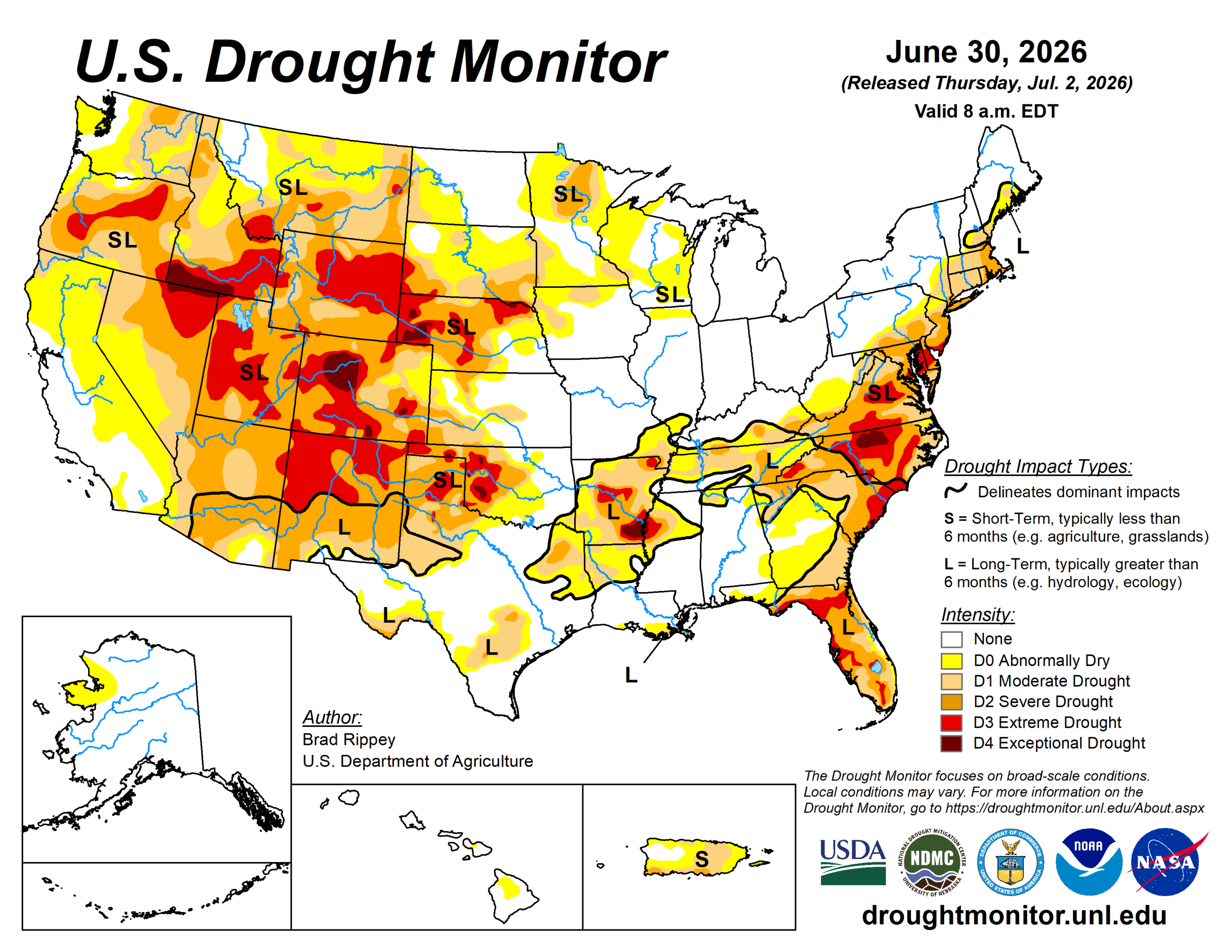
Active weather delivered heavy showers and locally severe thunderstorms east of the Rockies, with a few exceptions. Some of the heaviest rain, locally 4 to 8 inches or more, fell from portions of the central and southern Plains into the Ohio and Tennessee Valleys, leading to pockets of flash flooding and lowland flooding. At least five flood-related fatalities were reported in Kentucky and Tennessee. Exceptions to the wet pattern included the western Gulf Coast region, parts of the Southeast, and an area stretching from the east-central Plains into the lower Great Lakes region.
Source: US Drought Monitor
To view the full report visit:
Drought Monitor Report